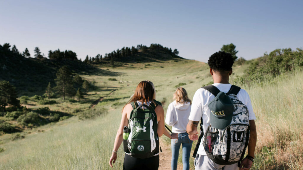
A big perk of attending CSU is having a variety of natural wonders right in your backyard. Your outdoor adventure options are practically uncountable thanks to local destinations like the Rocky Mountain foothills, Lory State Park, and Horsetooth Reservoir.
With so many hiking and biking options, it can be difficult to sort out where to begin. So we’ve put together a local trail list to help you get out and explore without having to travel too far from campus.
Browse the NoCo trail map to find even more local routes and check trail conditions.
#1: Mason Trail
You won’t have to go far from campus to catch the Mason Trail. Running north to south through campus alongside the MAX bus route, this paved and mostly flat path continues well past Fort Collins. It serves as a connector to three major east-to-west trails throughout town, including Spring Creek trail.
Use it to catch the bus, on your daily commute, or for a nice leisurely bike, walk, or run.
Distance from campus: 0 miles Hike or bike: Flat, paved surface, great for biking, walking, or running Length of trail: 4+ miles Ease: Easy Cost: Free
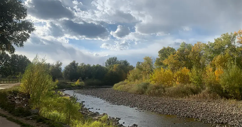
#2: Poudre Trail
Run or bike alongside the Cache La Poudre River as it winds through the natural areas of Fort Collins. The path offers beautiful scenery and many opportunities for additional recreational options like tubing and fishing.
The trail winds throughout and north of Fort Collins and connects to other trails, like Spring Creek. It offers many connections and parking options along the trail.
Distance from campus: 1.5 miles Hike or bike: Flat, paved surface, great for biking, walking, or running Length of trail: Up to 45 miles Ease: Easy Cost: Free
#3: Phemister Trail
Phemister Trail is a thoughtfully designed trail in a network of bike trails that connect Colorado State University to the broader Fort Collins area, linking the Spring Creek Trail to the underpass on Prospect Road, and providing a safer and more accessible route for CSU students, faculty and staff.
With one of the widest pedestrian bridges in the area passing over the top of Spring Creek, Phemister provides a great alternative to taking the Prospect tunnel during flood season, when that tunnel often becomes unsuitable for use.
Distance from campus: 1 mile Hike or bike: Both Length of trail: ~1 mile Ease: Easy Cost: Free
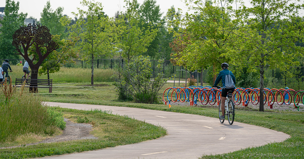
#4: Spring Creek Trail
A popular paved path for bikers and runners and a great connector to the Horsetooth Reservoir area, Spring Creek Trail runs east to west through town, ending at Pineridge Natural Area. It also intersects with Mason Trail, allowing students to catch it directly from campus by following Mason Trail south.
Distance from campus: 1.2 miles Hike or bike: Flat, paved surface, great for biking, walking, or running Length of trail: Up to 8 miles Ease: Easy Cost: Free
#5: Maxwell Natural Area
Located on the east side of the Horsetooth Reservoir and home to our famous painted ‘A’, Maxwell Natural Area is utilized often by runners, hikers, and bikers alike.
Maxwell’s trails not only offer direct access to the reservoir and Foothills Trail, but also provide more of a challenge, thanks to a steady incline up the foothills. Mountain bikers should especially be equipped to face a tough course.
Distance from campus: 3.6 miles Hike or bike: Both Length of trail: 1.6 miles Ease: Moderate to difficult due to incline Cost: Free parking at base. There is a $9 charge to park along Horsetooth Reservoir.
#6: Pineridge Natural Area
One of the most popular natural areas in Fort Collins and a hit with dog owners, Pineridge is located on the southeast side of Horsetooth Reservoir near the Horsetooth Dog Park at Spring Canyon Park. It offers a variety of hiking and biking options, along with a large parking area.
The ground can be loose at times, so be sure to have proper equipment when biking or hiking.
Distance from campus: 3.9 miles Hike or bike: Both Length of trail: Up to 3 miles Ease: Moderate due to incline Cost: Free parking at Spring Creek Park
#7: Reservoir Ridge Natural Area
If solitude is what you’re looking for, check out Reservoir Ridge. Located on the north side of Horsetooth Reservoir, this large, quiet natural area offers a variety of trails to hike or bike, as well as a beautiful overlook at the top of the ridge.
Trails vary from easy-to-moderate difficulty, and include popular scenic options like North Loop trail, which winds along the side of Horsetooth Reservoir.
Distance from campus: 6.5 miles Hike or bike: Both Length of trail: Up to 3 miles Ease: Easy to moderate Cost: Free parking at base. There is a $9 charge to park along Horsetooth Reservoir.
There’s more to explore
Find more local trail options and check trail conditions via the NoCo Trail Report.
Jill was a staff member in the Office of Admissions until 2019 when she moved to Denver. As a first-generation college student, she focused on simplifying the college admissions process and helping future Rams find community on campus.